Gwadar: A Complete Guide
Gwadar is the port city on the Makran coast of Balochistan. Waters of the Arabian Sea wrap around it on three sides. A hammerhead peninsula gives the city its striking shape. Fishing boats, beaches and an old Omani heritage fill the town. Warm waters and golden sands draw the curious traveller. This guide covers Gwadar for the curious traveller. It explains the setting the peninsula the fishing port the Omani past the beaches and the journey.
This guide offers a general overview. Details and figures vary between sources.
Quick answer: Gwadar is a coastal city in the south west of Balochistan, on the Arabian Sea about 630 kilometres from Karachi. It rests on a natural hammerhead shaped peninsula, joined to the mainland by a narrow, sandy isthmus that separates two curved bays. Once a small fishing town, Gwadar spent nearly two centuries under the rule of Oman before Pakistan acquired it in 1958. Today it is known for its deep water harbour, its beaches and its rich Omani heritage. A long coastal highway links it to Karachi.
A city by the Arabian Sea
Gwadar rests on the far south western coast. Waters of the Arabian Sea surround it on three sides. Sandy beaches and rocky hills frame the town. So the sea shapes the whole city.
A coastal setting marks the city. Gwadar rests on the Makran shore. Warm sea waters lap its bays. So the ocean rules daily life.
A remote spot marks the town. Gwadar rests far west of Karachi. Long coastal roads reach the city. So the journey rewards the traveller.
A dry climate marks the coast. Hot days give way to sea breezes. Winters stay mild and pleasant. So the cooler months suit a visit.
Hammerhead by the sea
Gwadar rests on a hammerhead peninsula. A narrow sandy neck joins it to the shore. Two curved bays flank the neck on each side. So the strange shape defines the city.
A curious shape marks the city. A rocky headland juts into the sea. From above it recalls a hammerhead. So nature drew the city a bold outline.
A sandy neck ties the land. A slim isthmus joins the headland to the coast. Bays curve on either side of it. So the neck holds the two shores together.
A pair of bays flanks the neck. A deep bay curves to the east, where the harbour rests. A shallow bay curves to the west. So the twin bays frame the town.
Gwadar: Fishing town and its port
Gwadar grew from a humble fishing town. Boats have long worked its rich waters. A natural harbour shelters the coast. So the sea has always fed the city.
A fishing heritage marks the town. Small boats crowd the old harbour. Fishermen haul the daily catch ashore. So the sea sustains the local people.
A natural harbour blesses the coast. Deep water fills the east bay. Sheltered waters guard the boats. So the bay makes a fine port.
A growing port rises today. Gwadar has built a deep water harbour. Ships call along the warm water coast. So the old town looks to the sea.
Omani heritage in Gwadar
Gwadar carries a deep Omani heritage. Oman ruled the town for nearly two centuries. Arab custom still colours the coast. So the past lingers in the city.
A long Omani rule shaped the town. Oman held Gwadar for many years. A Khan of Kalat once granted it away. So a distant sultanate governed the coast.
A lasting mark remains today. Old forts recall the Omani age, while Gwadari halwa still sweetens the bazaars. Arab flavours touch the local food. So the heritage endures in daily life.
A change of hands came in 1958. Pakistan acquired Gwadar from Oman, so the town joined Balochistan for good. So a new chapter opened for the city.
Beaches and viewpoints in Gwadar
Gwadar rewards the visitor with fine coast. Golden beaches line the curving bays. Lofty headlands open grand sea views. So the shore delights every traveller.
Golden beaches line the bays. Soft sand fringes the calm water. Families gather along the shore. So the beaches draw the crowds.
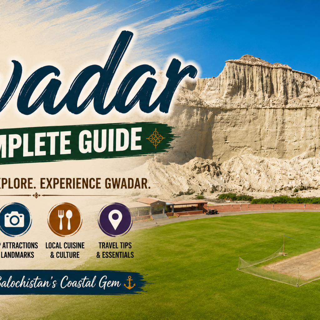
A grand viewpoint crowns the headland. Steps climb the heights of Koh e Batil, while the white hill of Koh e Mehdi rises to the north. Wide sea views open at the top. So the climb rewards the bold.
A coastal drive charms the visitor. Marine Drive follows the curving shore. Sunset spots line the western bay. So the evening glows over the sea.
Reaching Gwadar
Gwadar takes some effort to reach. A long coastal highway runs from Karachi. Scenic desert and sea line the way. So the journey rewards the patient traveller.
A coastal highway serves the city. This road runs west from Karachi. Sea and desert frame the route. So the drive itself thrills the traveller.
A scenic route marks the journey. Buzi Pass opens grand coastal views. Cliffs and beaches line the way. So the road delights the eye.
A small airport also serves. Flights reach the city at times. Roads then carry travellers onward. So the town welcomes the visitor.
Frequently asked questions
Where is Gwadar located? Gwadar is a coastal city in the south west of Balochistan, on the Arabian Sea about 630 kilometres west of Karachi. It rests on a striking hammerhead shaped peninsula, surrounded by the sea on three sides along the wider Makran coast. A narrow, sandy isthmus joins it to the mainland, separating two curved bays, one deep and one shallow. This unusual geography gives Gwadar both its natural harbour and its dramatic coastal scenery.
Why is Gwadar shaped like a hammerhead? Gwadar owes its distinctive hammerhead shape to a rocky headland, known as Koh e Batil, that juts out into the Arabian Sea. A narrow, sandy strip of land joins this headland to the mainland, so that from above the whole promontory resembles the head of a hammerhead. On either side of the connecting neck lie two almost perfectly semicircular bays, one to the east and one to the west. Geologists believe the rocky mass was shaped long ago by the action of a mud volcano.
What is the history of Gwadar? Gwadar has a long and unusual history, spending nearly two centuries under the rule of the Sultanate of Muscat and Oman. In 1783 a Khan of Kalat granted the town to a ruler of Oman. It remained an Omani possession, governed by an appointed wali, for generations. During this time it stayed a modest but valuable trading and fishing town with several forts built along the coast. In 1958, Pakistan acquired Gwadar from Oman and it became part of Balochistan, beginning a new chapter in the story of the city.
What is there to see in Gwadar? Gwadar offers plenty for the visitor who enjoys coastal scenery and heritage. A hammerhead peninsula and the hill of Koh e Batil are the great natural landmarks with a long stairway climbing to sweeping views over the sea and the town. Golden beaches along the two bays the Marine Drive and the sunset viewpoints draw people for walks and picnics. Old Omani forts recall the past, while the harbour and its fishing boats give a glimpse of the traditional life that has long sustained the city.
How do you get to Gwadar? The travelers mostly arrive at Gwadar through road via the Makran Coastal Highway. This highway extends from Karachi towards Gwadar in the west covering a distance of about 630 kilometres. It also provides travelers with a spectacular view of the sea as well as deserts during their journey. The route is indeed an attraction on its own as it includes some of the spectacular locations like Buzi Pass and coastal areas of Pasni and Ormara. Gwadar has a small airport with few flights, but many travelers like to use the coastal road anyway.
Gwadar: A jewel of the Makran coast
Gwadar is a jewel of the Makran coast. Waters of the Arabian Sea wrap around it on three sides. A hammerhead peninsula gives the city its striking shape. Fishing boats, beaches and an old Omani heritage fill the town. Warm waters and golden sands reward the traveller. Few cities blend such geography, history and sea.
You may come to Gwadar for the beaches the port or the past. This coastal city rewards the visitor either way. You can climb the heights of Koh e Batil for the view. You can wander the golden sands of the two bays. You can trace the Omani heritage in the old forts. Come to Gwadar and discover the jewel of the Makran coast. This is the gateway to the Arabian Sea.